Cedros Alpamayo Circuit / 11 Days
One of the most spectacular trekking routes in the Andes.
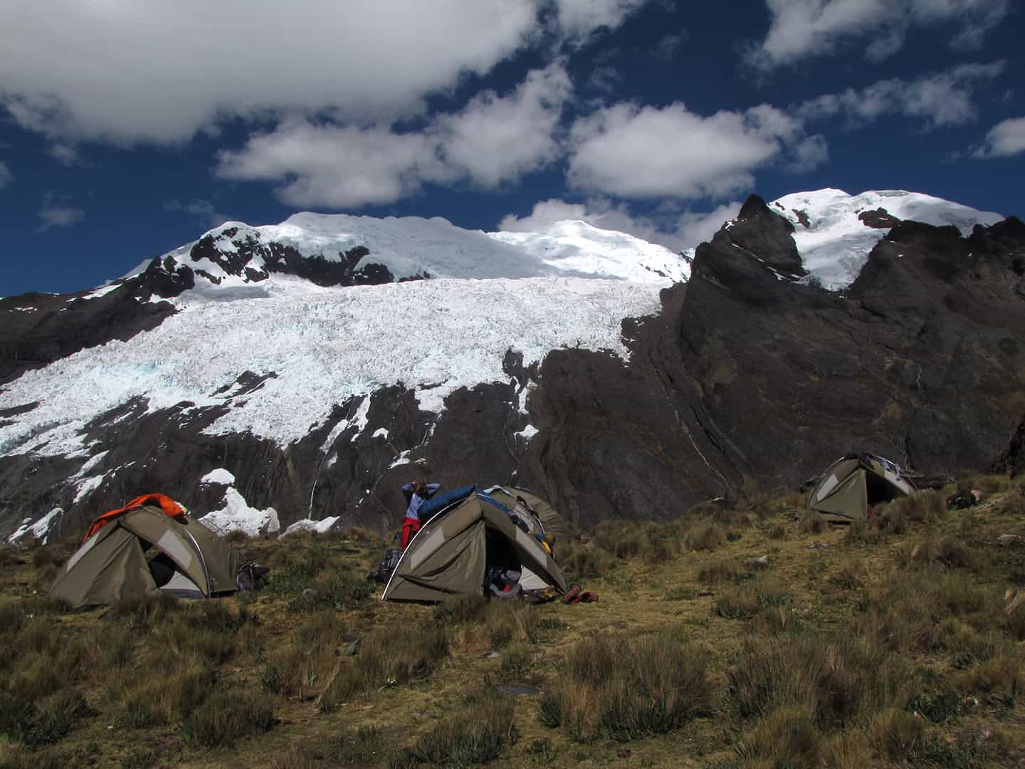
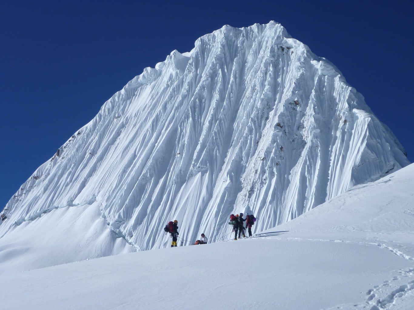
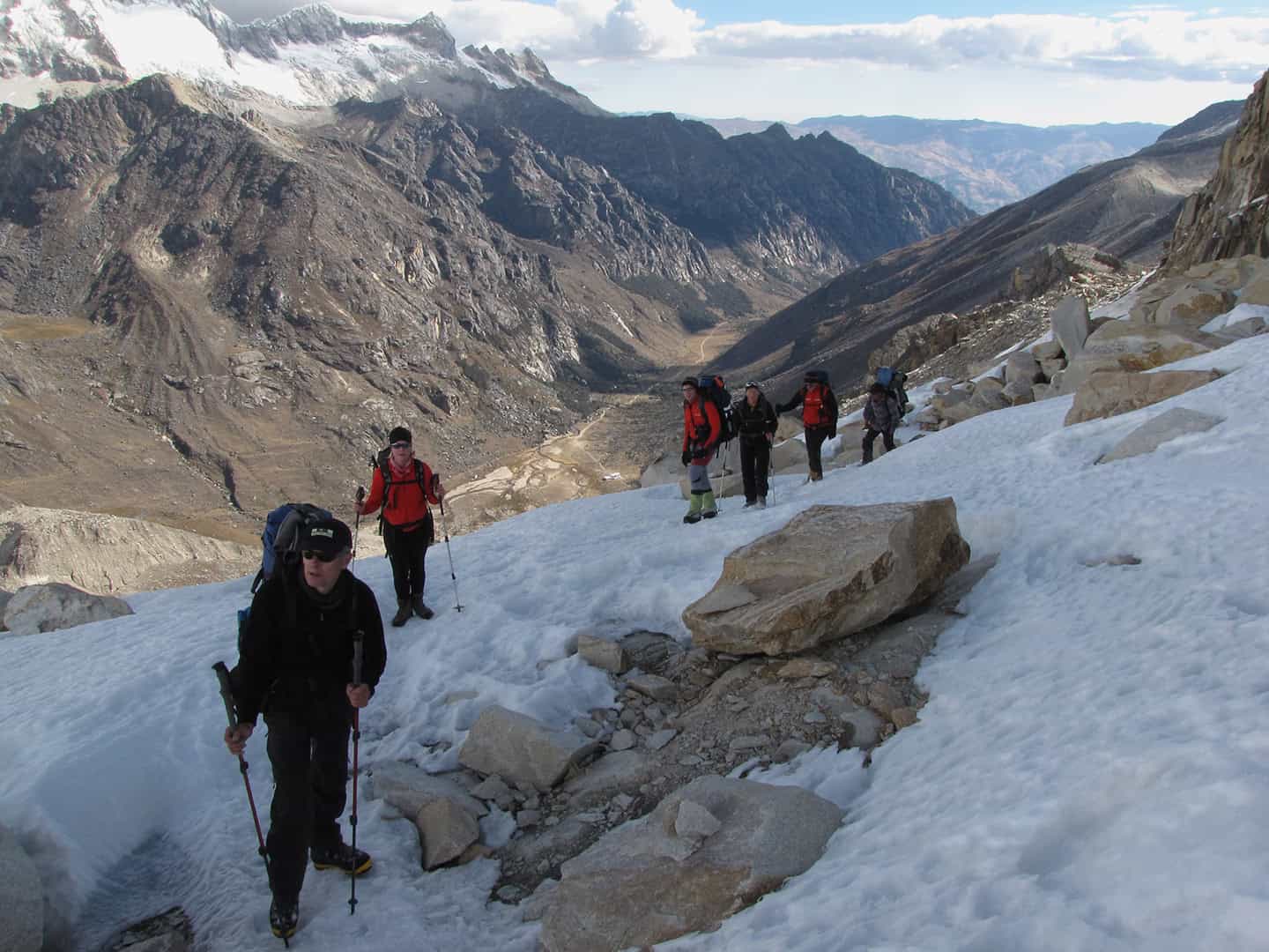
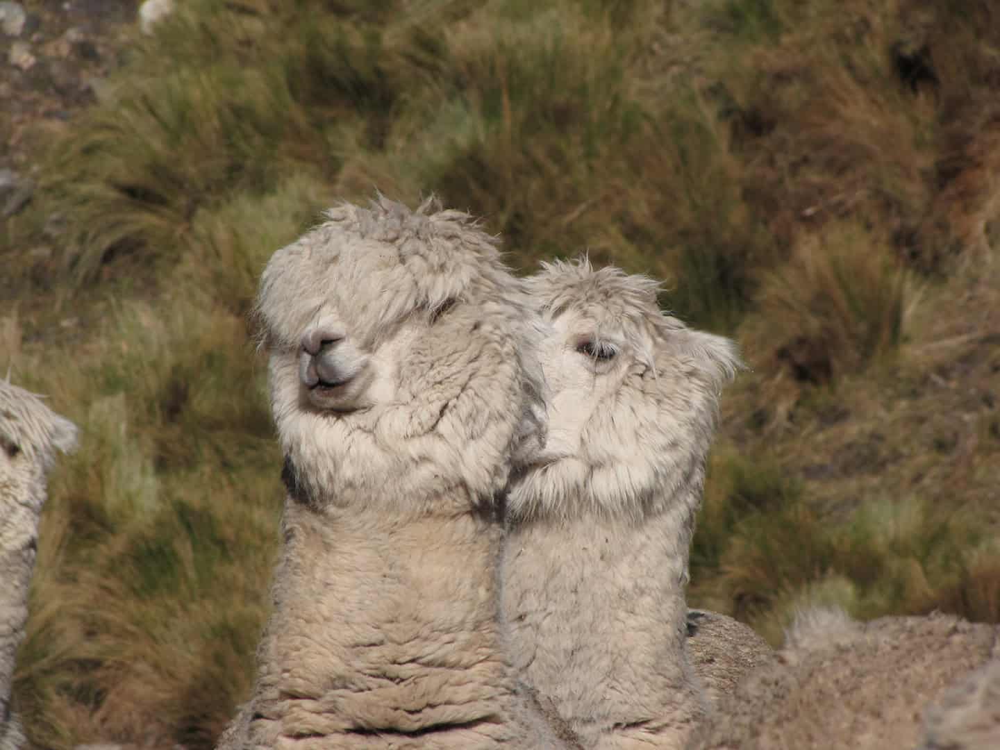
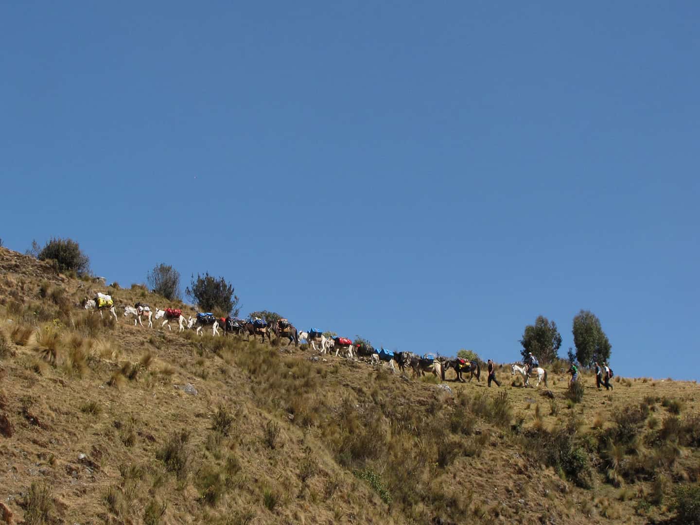
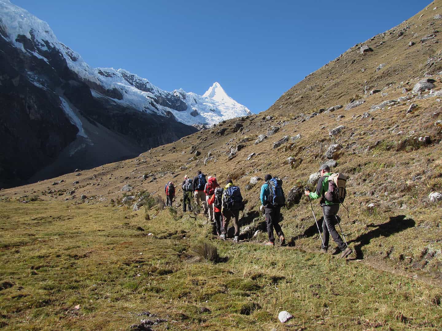
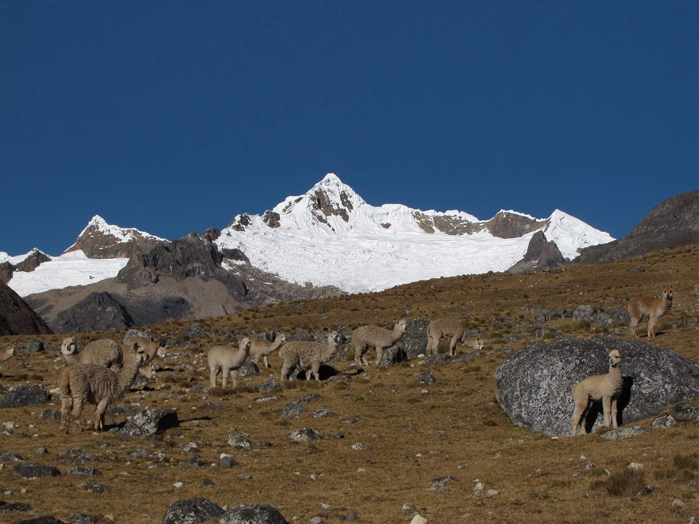
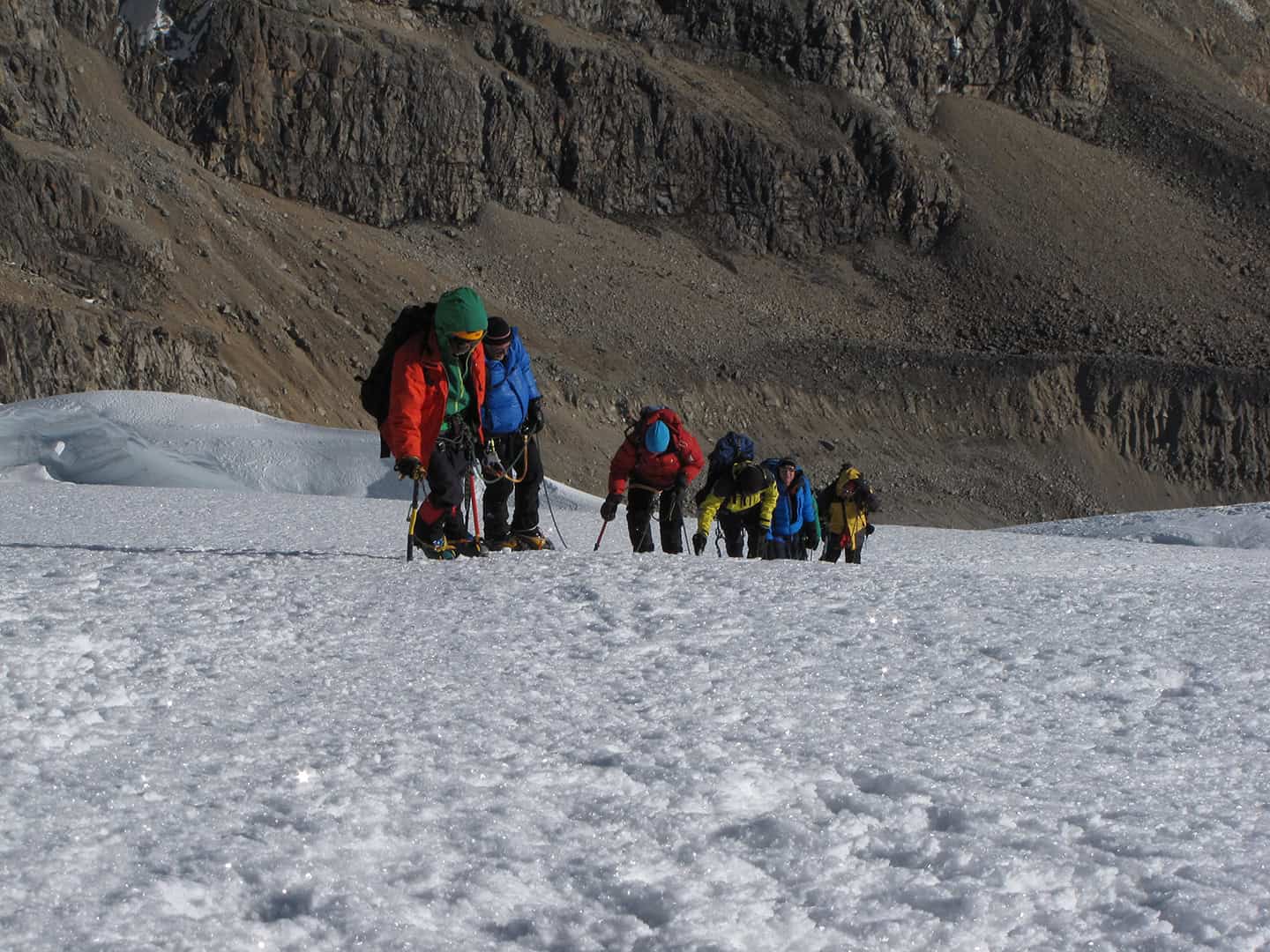
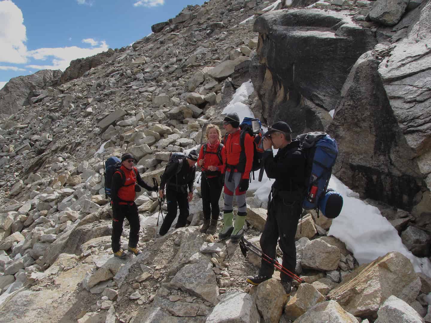
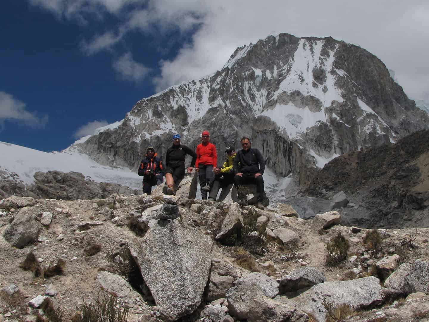
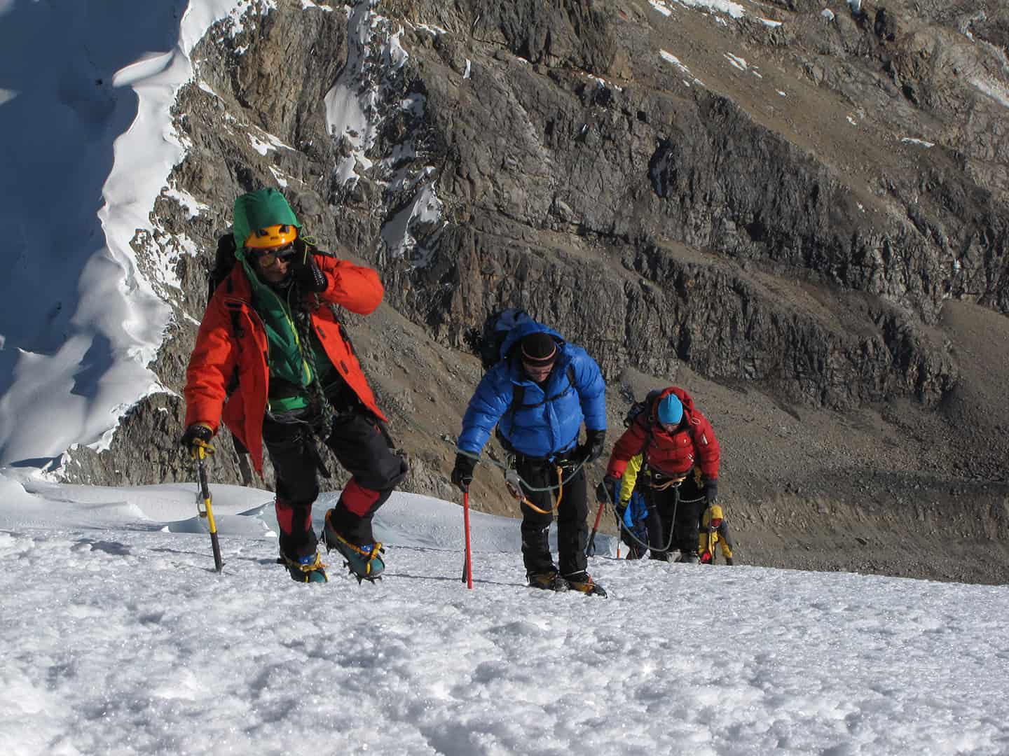
A full 16-day itinerary (11 days in the mountains). A once-in-a-lifetime trekking experience for any adventure seeker.
$2750 us
Available: June – August
Get in touch for specific questions about routes, difficulty, and expedition lengths.
$2750 us
Available: June – August
Get in touch for specific questions about routes, difficulty, and expedition lengths.
More about this trek!
Zoom In
● Double Click Where you Want to Zoom in
● Make a Selection while Holding the ⇧ Key
● Use your Mouse Wheel
Zoom Out
● Double Click While Holding the ⇧ Key
● Use your Mouse Wheel
Pan Left or Right
● Click, Hold and Drag Left or Right
Pan Up or Down
● Click, Hold and Drag Up or Down
Rotate the Map
● Right Click, Hold and Drag Left or Right
Tilt Map
● Right Click, Hold and Drag Up or Down
One Finger
Zoom In
● Double Tap
Pan Left or Right
● Press, Hold & Drag Left or Right
Pan Up or Down
● Press, Hold & Drag Up or Down
Thumb & Forefinger
Zoom In or Out
● Touch & Pinch or Spread
Rotate the Map
● Touch & Spin
Two Fingers
Tilt the Map
● Touch & Drag Up or Down
One Finger
Zoom In
● Double Tap
Pan Left or Right
● Press, Hold & Drag Left or Right
Pan Up or Down
● Press, Hold & Drag Up or Down
Thumb & Forefinger
Zoom In or Out
● Touch & Pinch or Spread
Rotate the Map
● Touch & Spin
Two Fingers
Tilt the Map
● Touch & Drag Up or Down
Zoom In
● Double Click Where you Want to Zoom in
● Make a Selection while Holding the ⇧ Key
● Use your Mouse Wheel
Zoom Out
● Double Click While Holding the ⇧ Key
● Use your Mouse Wheel
Pan Left or Right
● Click, Hold and Drag Left or Right
Pan Up or Down
● Click, Hold and Drag Up or Down
Rotate the Map
● Right Click, Hold and Drag Left or Right
Tilt Map
● Right Click, Hold and Drag Up or Down
One Finger
Zoom In
● Double Tap
Pan Left or Right
● Press, Hold & Drag Left or Right
Pan Up or Down
● Press, Hold & Drag Up or Down
Thumb & Forefinger
Zoom In or Out
● Touch & Pinch or Spread
Rotate the Map
● Touch & Spin
Two Fingers
Tilt the Map
● Touch & Drag Up or Down
One Finger
Zoom In
● Double Tap
Pan Left or Right
● Press, Hold & Drag Left or Right
Pan Up or Down
● Press, Hold & Drag Up or Down
Thumb & Forefinger
Zoom In or Out
● Touch & Pinch or Spread
Rotate the Map
● Touch & Spin
Two Fingers
Tilt the Map
● Touch & Drag Up or Down
The Los Cedros/Alpamayo
Los Cedros/Alpamayo Circuit—one of the more challenging and beautiful routes in the Cordillera Blanca.
Maximum Altitude: 4,860 meters at Osoruri Pass
Route: Cedros/Alpamayo Circuit
Available: June – August
Difficulty: Moderately Difficult to Challenging
Distance: ca. 120 km (75 mi)
Overview of the Trek
Los Cedros/Alpamayo and the Alpamayo Circuit, which includes a substantial part of the Santa Cruz Trek, typically last from 8 to 11 days, and approximately 96 to 120 kilometers (60 to 75 mi) depending on the route and additional side trips. Both the North and South Face Alpamayo Base Camps can be reached from the circuit. There are a number of unique views of Alpamayo, with its fluted, ice-clad south-western face, as well as several other mountains. The two routes connect on the eastern side of the cordillera, in a truly remote wilderness section of the Cordillera Blanca.
Scenic Highlights
Cedros/Alpamayo offers eleven days of beautiful high-altitude landscapes, turquoise glacial lakes, high passes, and verdant alpine valleys featuring the diverse flora and fauna unique to the region. This trek also offers spectacular views of the surrounding mountains, including both the North and South faces of Alpamayo at 5,947 meters (19,511 feet), often regarded as one of the most beautiful mountains in the world. The route also encircles several other significant peaks, including Quitaraju at 6,036 meters (19,803 feet), Santa Cruz at 6,259 meters (20,535 feet), and Pucajirca Norte at 6,046 (19,835 feet).
Daily Experience
With a number of high mountain passes, a typical day on the circuit involves ascending and descending challenging rocky trails. While a strenuous climb, the Osoruri Pass at 4,860 meters (15,945 feet) offers incredibly rewarding views of the area. Camps are typically set near beautiful lakes or under towering mountains, providing a serene environment to relax in after an epic day of hiking. The route also passes through small Andean villages and isolated farming communities, adding a unique dimension to the journey and allowing for an immersive look into the traditional highland ways of life.
Physical Demands
While the Cedros/Alpamayo Circuit is considered moderately difficult to challenging, this depends on the specific itinerary and route variations. The trek typically involves 5 to 7 hours of physical activity each day, with long ascents to high passes, requiring proper acclimatization to avoid altitude sickness. Overall, the Cedros/Alpamayo Circuit is best suited for trekkers who are well-prepared for high-altitude hiking and challenging terrain.
Despite these challenges, this trek is an incredibly fulfilling mountain experience, and one of Peru’s most stunning natural environments.
We recommend doing a couple of acclimatization hikes at altitude before starting this trek. Your itinerary includes two of the options below.
Quebrada Paron
Sphinx Base Camp
Laguna Paron
Laguna Chacra
Laguna Congelada (Artesonraju Morain)
Laguna 69
Laguna 513
Day 1 / Arrive in Lima
Day 2 – Travel to YakuRumi (Caraz)
Day 3 – Orientation & Acclimatization
Day 4 – Acclimatization
Day 5 / Cashapampa to Jatuncocha (Start)
Day 6 / Llamacorral to Taullipampa
Day 7 / Taullipampa to Tuctu
Day 8 / Tuctu to Laguna Hercucocha
Day 9 / Laguna Hercucocha to Jancapampa
Day 10 / Jancapampa to Huillca
Day 11 / Huilca to Jankarurish
Day 12 / Rest & Exploration Day
Day 13 / Jancarurish to Osoruri
Day 14 / Osoruri to Huishcash
Day 15 / Huishcash to Hualcayan/YakuRumi (Caraz)
Day 16 / Return to Lima
All in-country transport during the program, including private transport to itinerary destinations
Private transportation between Lima and Caraz
Hotel accommodations for specified time in Lima, double occupancy
Professional, English-speaking trekking guides for acclimatization activities
Professional, English-speaking trekking guides
Professional expedition cooks
Three healthy meals a day plus snacks during the wilderness components of the trip
National park entry & all community/camping fees
Tents and sleeping mats
Dining tent, table, chairs, and cook tent
Bathroom tent at all camps
All cooking and eating utensils
Donkeys to carry the load
First aid kit stocked for wilderness expeditions
Satellite telephone or InReach for emergency use
Feast, Fire and Sweat Lodge at YakuRumi
What’s Not
▷ International flights to/from Lima and applicable airport taxes
▷ Personal clothing and equipment (see gear list)
▷ All food during in-town days or extra food/beverages ordered from hotels
▷ Incidental expenditures, including emergency evacuations and medical costs
▷ Extra nights in hotels, additional transportation not indicated in program itinerary
▷ Travel, personal, and/or medical insurance
▷ Long-sleeve shirts
▷ Cotton short-sleeved shirts or t-shirts
▷ Fleece or wool sweater and/or trousers
▷ Lightweight pants
▷ Long (thermal) underwear
▷ Medium-weight parka (fibber or down)
▷ Light cap and wool hat
▷ Rain gear (or poncho)
▷ Water bottle
▷ Light gloves
▷ Medium-weight socks
▷ Hiking boots
▷ Sleeping bag (-5º to 0ºC)
▷ Small day-pack
▷ Strong waterproof duffel bag
▷ Sunglasses, sunblock, lip balm
▷ Flashlight with spare batteries and bulb
▷ Personal hygiene items, towels, etc.
Getting Started
If you have any questions about this trek, available dates and options, please get in touch.