Santa Cruz Trek / 4 Days
An amazing mountain experience in the heart of the northern Cordillera Blanca.




A full 9-day itinerary (5 days in the mountains). An incredible first-time experience, in a short, accessible adventure.
$1250 us
Available: May – August
Get in touch for specific questions about routes, difficulty, and expedition lengths.
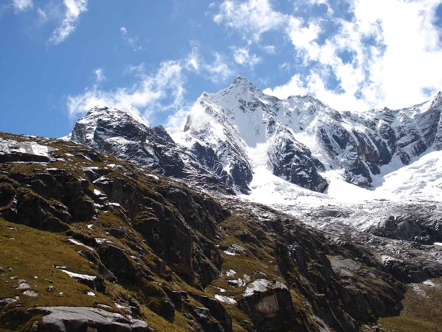
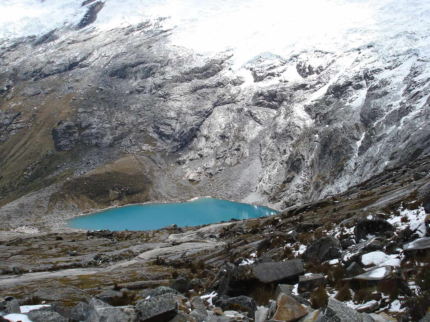
Santa Cruz features stunning views of the Cordillera Blanca, including towering glaciated peaks like Taulliraju, Alpamayo, Artesonraju, and Santa Cruz. The route passes through picturesque alpine valleys, rivers, and glacial lakes, with a high point of 4,750 meters (15,580 ft) and a breathtaking view of the surrounding mountains and valleys.
A full 9-day itinerary (5 days in the mountains). An incredible first-time experience, in a short, accessible adventure.
$1250 us
Available: May – August
Get in touch for specific questions about routes, difficulty, and expedition lengths.
Zoom In
● Double Click Where you Want to Zoom in
● Make a Selection while Holding the ⇧ Key
● Use your Mouse Wheel
Zoom Out
● Double Click While Holding the ⇧ Key
● Use your Mouse Wheel
Pan Left or Right
● Click, Hold and Drag Left or Right
Pan Up or Down
● Click, Hold and Drag Up or Down
Rotate the Map
● Right Click, Hold and Drag Left or Right
Tilt Map
● Right Click, Hold and Drag Up or Down
One Finger
Zoom In
● Double Tap
Pan Left or Right
● Press, Hold & Drag Left or Right
Pan Up or Down
● Press, Hold & Drag Up or Down
Thumb & Forefinger
Zoom In or Out
● Touch & Pinch or Spread
Rotate the Map
● Touch & Spin
Two Fingers
Tilt the Map
● Touch & Drag Up or Down
One Finger
Zoom In
● Double Tap
Pan Left or Right
● Press, Hold & Drag Left or Right
Pan Up or Down
● Press, Hold & Drag Up or Down
Thumb & Forefinger
Zoom In or Out
● Touch & Pinch or Spread
Rotate the Map
● Touch & Spin
Two Fingers
Tilt the Map
● Touch & Drag Up or Down
Zoom In
● Double Click Where you Want to Zoom in
● Make a Selection while Holding the ⇧ Key
● Use your Mouse Wheel
Zoom Out
● Double Click While Holding the ⇧ Key
● Use your Mouse Wheel
Pan Left or Right
● Click, Hold and Drag Left or Right
Pan Up or Down
● Click, Hold and Drag Up or Down
Rotate the Map
● Right Click, Hold and Drag Left or Right
Tilt Map
● Right Click, Hold and Drag Up or Down
One Finger
Zoom In
● Double Tap
Pan Left or Right
● Press, Hold & Drag Left or Right
Pan Up or Down
● Press, Hold & Drag Up or Down
Thumb & Forefinger
Zoom In or Out
● Touch & Pinch or Spread
Rotate the Map
● Touch & Spin
Two Fingers
Tilt the Map
● Touch & Drag Up or Down
One Finger
Zoom In
● Double Tap
Pan Left or Right
● Press, Hold & Drag Left or Right
Pan Up or Down
● Press, Hold & Drag Up or Down
Thumb & Forefinger
Zoom In or Out
● Touch & Pinch or Spread
Rotate the Map
● Touch & Spin
Two Fingers
Tilt the Map
● Touch & Drag Up or Down
The Santa Cruz Trek
The Santa Cruz Trek—well known for its accessibility breathtaking landscapes and diverse natural beauty.
Altitude: 4,750 m / 15,580 ft
Route: Santa Cruz
Available: May – August
Difficulty: Moderately Difficult
Distance: ca. 50 km (31 mi)
Overview of the Trek
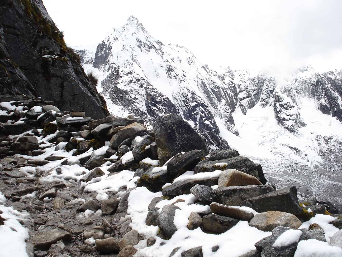
Passing through the Santa Cruz and Huaripampa glacial valleys, the Santa Cruz is one of the more popular multi-day treks in the park. Typically lasting 3–4 days, the trail covers approximately 50 kilometers (31 mi) and features Punta Union Pass at 4,750 meters (14,599 ft). The crossing offers stunning 360-degree views of surrounding peaks like Taulliraju, Quitaraju, Artesonraju, and Chacraraju.
Scenic Highlights
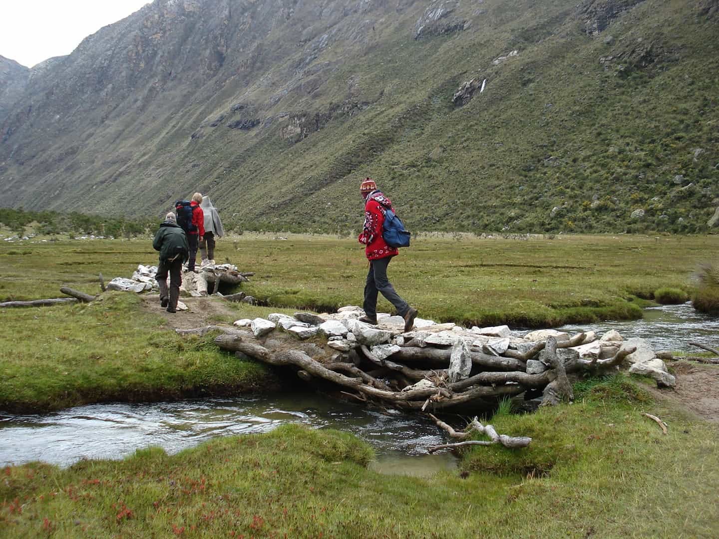
Massive glaciers and sweeping views of incredible peaks, among them Alpamayo and Artesonraju, of Paramount Pictures fame. You will be hiking and camping your way through beautiful alpine valleys, wildflower meadows, and alongside picturesque glacial lakes like Ichiccocha and Jatuncocha. All while encountering a variety of native Andean flora and fauna, including a diverse collection of Andean birds, particularly along the rivers and lake shores. The Santa Cruz has a lot to offer in a short trek.
Daily Experience
Aside from the amazing landscape, you may meet up with people who are part of the local communities living near the trailheads or along the route. These communities often rely on agriculture and livestock for their livelihoods and have shared use of the National Park. The Santa Cruz is also famous for its “guide dogs,” often attaching themselves to your group for the entire trek and perfectly willing to work for biscuits.
Physical Demands
The Santa Cruz is a 3 to 4 day moderately difficult trek. It involves crossing one high-altitude pass, Punta Union, at 4,750 meters (15,584 ft) above sea level. Hikers should be prepared for high-altitude trekking, which can pose risks like altitude sickness. While this trek requires acclimatization, it’s generally accessible to those with moderate fitness levels.
We recommend doing a couple of acclimatization hikes at altitude before starting this trek. Your itinerary includes two of the options below.
Quebrada Paron
Sphinx Base Camp
Laguna Paron
Laguna Chacra
Laguna Congelada (Artesonraju Morain)
Laguna 69
Laguna 513
Day 1 – Arrive in Lima
Day 2 – Travel to YakuRumi (Caraz)
Day 3 – Orientation & Acclimatization
Day 4 – Acclimatization
Day 5 – Cashapampa to Jatuncocha (Start)
Day 6 – Jatuncocha to Alpamayo Base Camp
Day 7 – Alpamayo Base Camp to Taullipampa
Day 8 – Taullipampa to Paria
Day 9 – Paria to Vaquería/YakuRumi (Caraz)
Day 10 – Return to Lima
All in-country transport during the program, including private transport to itinerary destinations
Private transportation between Lima and Caraz
Hotel accommodations for specified time in Lima, double occupancy
Professional, English-speaking trekking guides for acclimatization activities
Professional, English-speaking trekking guides
Professional expedition cooks
Three healthy meals a day plus snacks during the wilderness components of the trip
National park entry & all community/camping fees
Tents and sleeping mats
Dining tent, table, chairs, and cook tent
Bathroom tent at all camps
All cooking and eating utensils
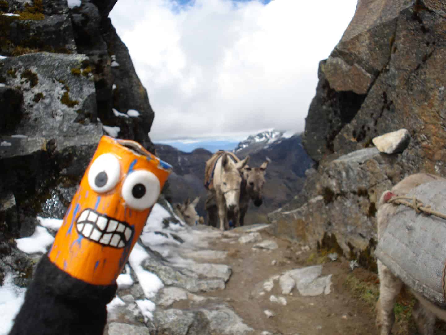
Donkeys to carry the load
First aid kit stocked for wilderness expeditions
Satellite telephone or InReach for emergency use
Feast, Fire and Sweat Lodge at YakuRumi
What’s Not
▷ International flights to/from Lima and applicable airport taxes
▷ Personal clothing and equipment (see gear list)
▷ All food during in-town days or extra food/beverages ordered from hotels
▷ Incidental expenditures, including emergency evacuations and medical costs
▷ Extra nights in hotels, additional transportation not indicated in program itinerary
▷ Travel, personal, and/or medical insurance
▷ Long-sleeve shirts
▷ Cotton short-sleeved shirts or t-shirts
▷ Fleece or wool sweater and/or trousers
▷ Lightweight pants
▷ Long (thermal) underwear
▷ Medium-weight parka (fibber or down)
▷ Light cap and wool hat
▷ Rain gear (or poncho)
▷ Water bottle
▷ Light gloves
▷ Medium-weight socks
▷ Hiking boots
▷ Sleeping bag (-5º to 0ºC)
▷ Small day-pack
▷ Strong waterproof duffel bag
▷ Sunglasses, sunblock, lip balm
▷ Flashlight with spare batteries and bulb
▷ Personal hygiene items, towels, etc.
Getting Started
If you have any questions about this trek, available dates and options, please get in touch.